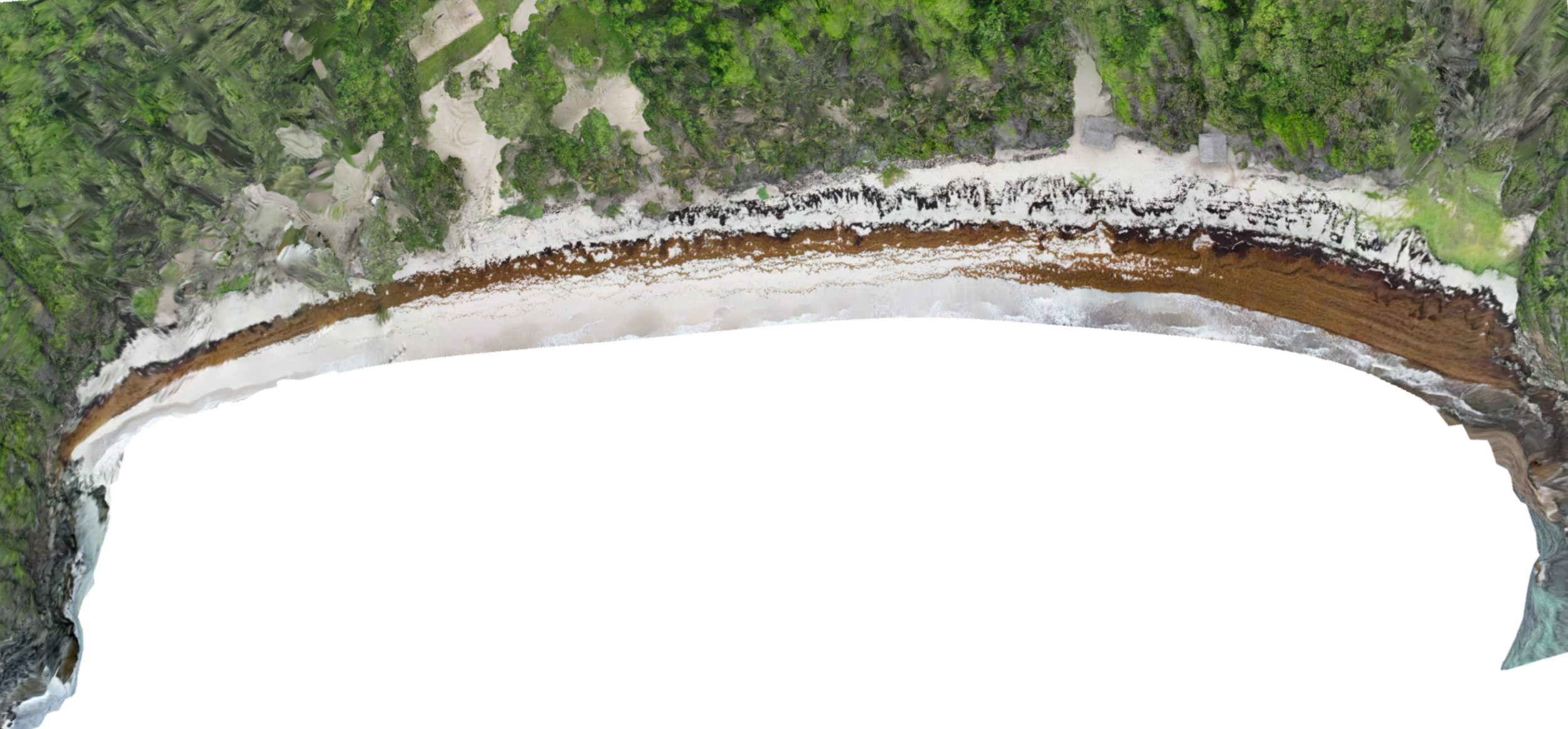
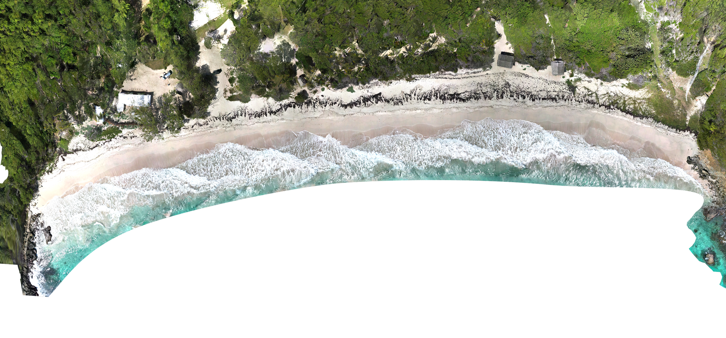
Scan Visualisation
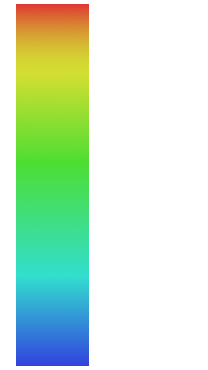
Repeat 3D surveys provide a consistent way to measure surface change over time. When captured and processed using the same methodology, these surveys allow surface height differences to be compared reliably between dates. While small variations are expected within any measurement system, changes beyond defined tolerance levels can be identified with confidence.
Differences in visual quality between survey dates reflect changes in image capture methods rather than changes in processing quality. Models generated from lower image density may appear smoother and contain less surface detail, which can reduce confidence in detecting small height differences. From December onwards, surveys will follow a consistent, high-density capture methodology, improving model resolution and the reliability of elevation comparisons between datasets.
Macaroni
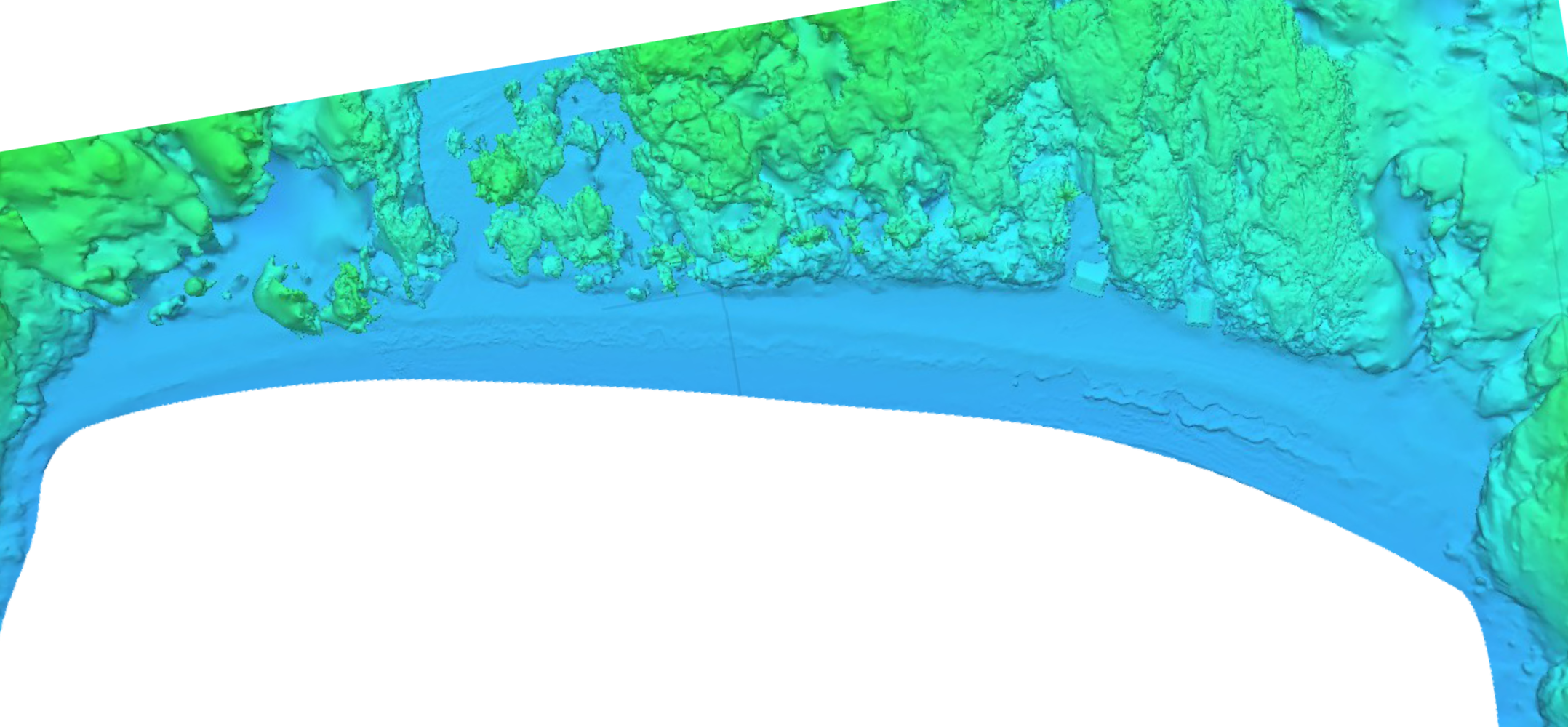
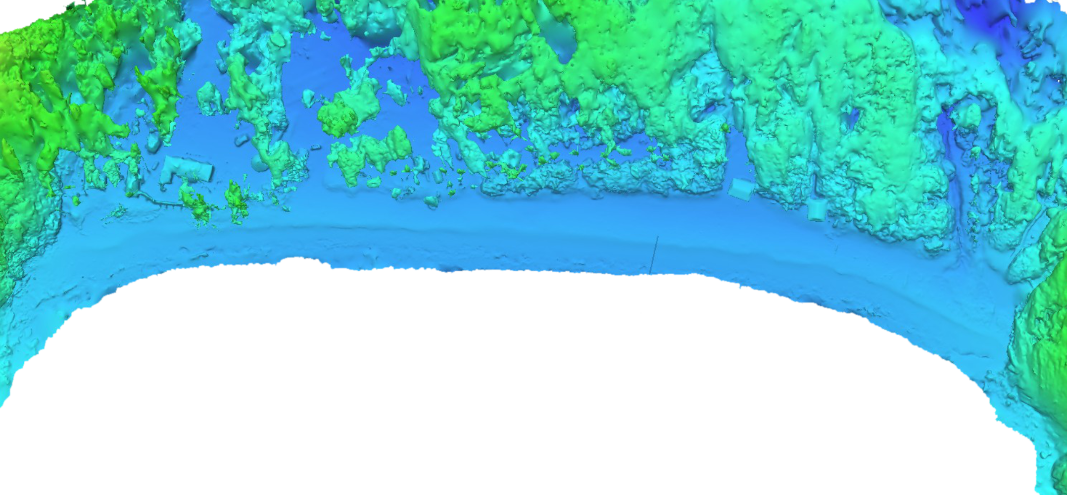
Left: July 2025
Right: December 2025
Textured View